Farmin
AI-Powered Satellite Image Detection SaaS
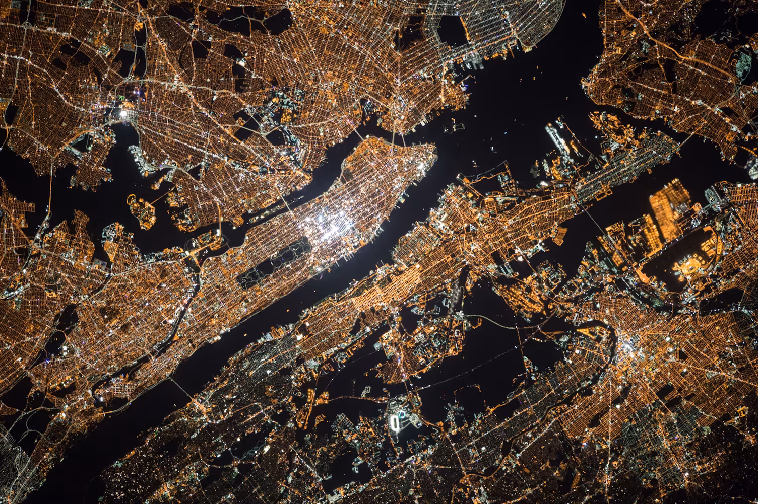
Instantly detect objects in satellite imagery using advanced AI. From cars and ships to oil spills and infrastructure changes, Farmin provides real-time analysis with change detection and data annotation tools. Built with Mapbox, YOLO models, OpenCV, and deployed on AWS for scalable remote sensing capabilities.
Industry
AI SaaS / Remote Sensing
Client
Farmin
Engagement
End-to-end AI satellite platform
Outcome
Real-time satellite object detection
Tech Stack
Mapbox, YOLO, OpenCV, AWS, Python, Django
Demo
The Challenge
Traditional satellite image analysis was limited by manual processing and lacked real-time capabilities for object detection and change monitoring.
Farmin required an AI-powered SaaS platform capable of automated object detection, change analysis, and scalable cloud infrastructure for remote sensing applications.
01.
Implement AI-powered object detection for satellite imagery
02.
Enable real-time change detection and analysis
03.
Develop data annotation tools for model training
04.
Build scalable cloud infrastructure for satellite data processing
Our Approach
TechEmulsion partnered with Farmin to develop an AI-powered satellite analysis platform from the ground up. We integrated advanced computer vision technologies with scalable cloud infrastructure to deliver real-time object detection and change monitoring capabilities.
01.
Build AI object detection system using YOLO and OpenCV
02.
Implement Mapbox integration for geographic visualization
03.
Develop change detection algorithms for temporal analysis
04.
Create data annotation tools for continuous model improvement
05.
Deploy on AWS with EC2 and S3 for scalable satellite data processing
The Solution: Technical Architecture & Key Features
AI Object Detection: Implemented YOLO-based deep learning models with OpenCV for real-time detection of cars, ships, buildings, and oil spills in satellite imagery.
Mapbox Integration: Integrated Mapbox for accurate geographic mapping, location search, and target area marking for satellite monitoring.
Change Detection: Developed algorithms to analyze temporal changes in satellite imagery, tracking environmental and structural modifications across time frames.
Data Annotation Tools: Created micro-frontend annotation tools for customized tagging and model refinement, enabling continuous AI improvement.
AWS Infrastructure: Deployed on AWS with EC2 and S3 for scalable, secure processing of large satellite imagery datasets.
Client Review
TechEmulsion can work on different application technologies and is capable of adapting quickly to changing needs.
Farmin
Impact & Results
The platform delivered enhanced detection accuracy and real-time satellite data access, with robust infrastructure supporting scalable remote sensing applications.
01.
Enhanced detection accuracy for objects like vehicles, buildings, and environmental hazards
02.
Robust infrastructure ensuring real-time access to satellite data
03.
Intuitive user experience with integrated mapping and customizable annotations
Why This Matters
TechEmulsion transformed traditional satellite image analysis into an AI-powered SaaS platform—enabling real-time object detection, change monitoring, and scalable remote sensing capabilities for industries worldwide.